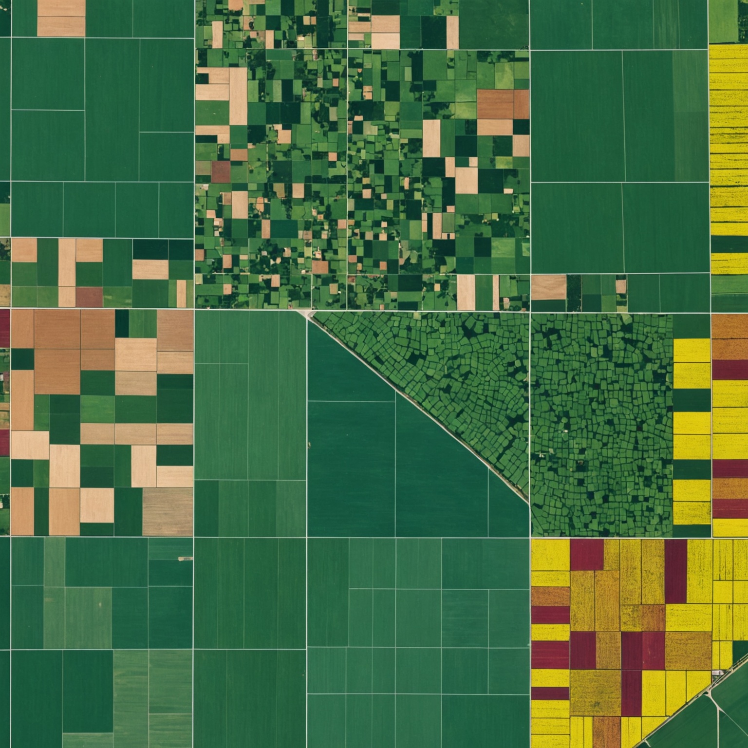
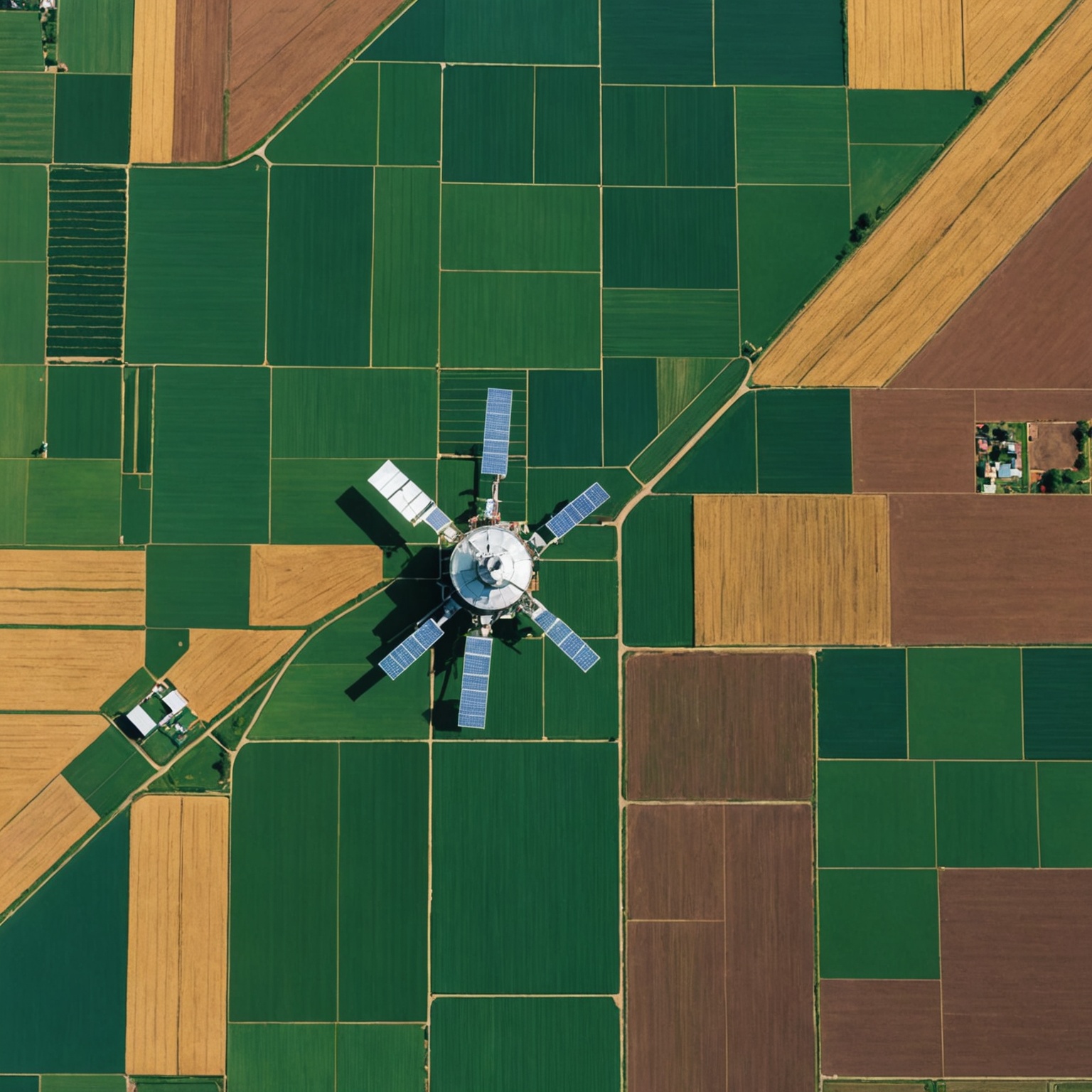
AI-Enhanced Satellite Imaging Boosts Agricultural Efficiency

AI-Enhanced Satellite Imaging Boosts Agricultural Efficiency
With the integration of Artificial Intelligence (AI) in satellite imaging, the agricultural sector is undergoing a significant transformation. This technology enables farmers and agronomists to optimize crop health, irrigation practices, and resource management, leading to increased efficiency and sustainability in farming operations.
The Role of AI in Modern Agriculture
AI technologies are becoming integral in analyzing vast amounts of data from satellite images. They help in identifying patterns that are not easily visible to the human eye, such as slight variations in soil moisture, crop health, and pest infestations. By processing this data, AI facilitates precise farming techniques that can be tailored to the specific needs of each crop.
Moreover, AI-driven tools assist in predictive analytics, forecasting weather impacts on crop production, and optimizing planting and harvesting schedules. This not only enhances crop yields but also reduces the risk of crop failure due to adverse weather conditions or pests.

Advantages of AI-Enhanced Satellite Imaging
The benefits of employing AI-enhanced satellite imaging in agriculture are manifold. Key advantages include:
- Increased crop yields through precise crop monitoring and management.
- Reduced environmental impact due to optimized use of resources like water and fertilizers.
- Improved crop resilience by anticipating environmental stressors.
- Cost reductions through more efficient farming practices and resource utilization.
These advancements lead to more sustainable agricultural practices, aligning with global efforts to combat climate change and promote environmental stewardship.
Case Studies: Success Stories in AI-Enhanced Agriculture
Several case studies highlight the success of AI-enhanced satellite imaging in agriculture. For instance, in regions prone to drought, satellite data has enabled farmers to implement precision irrigation systems that significantly conserve water while maintaining crop health.
In another case, pest infestation patterns identified through satellite imagery allowed for targeted pesticide application, reducing the amount of chemicals used and minimizing environmental impact.
These real-world applications demonstrate the potential of AI-enhanced satellite imaging to transform agricultural practices worldwide, making them more efficient and sustainable.

Future Trends and Developments
Looking ahead, the integration of AI with satellite imaging is set to become more advanced, with newer algorithms capable of even more precise data analysis. This progression will likely introduce more autonomous farming equipment that relies on AI-driven satellite insights to operate, further automating agricultural practices and increasing efficiency.
As technology continues to evolve, the potential for AI in agriculture seems limitless, promising a future where farming is not only more productive but also more environmentally friendly and sustainable.
Embracing these technologies today can lead to a better tomorrow for the global agricultural industry, ensuring food security and sustainability for future generations.


